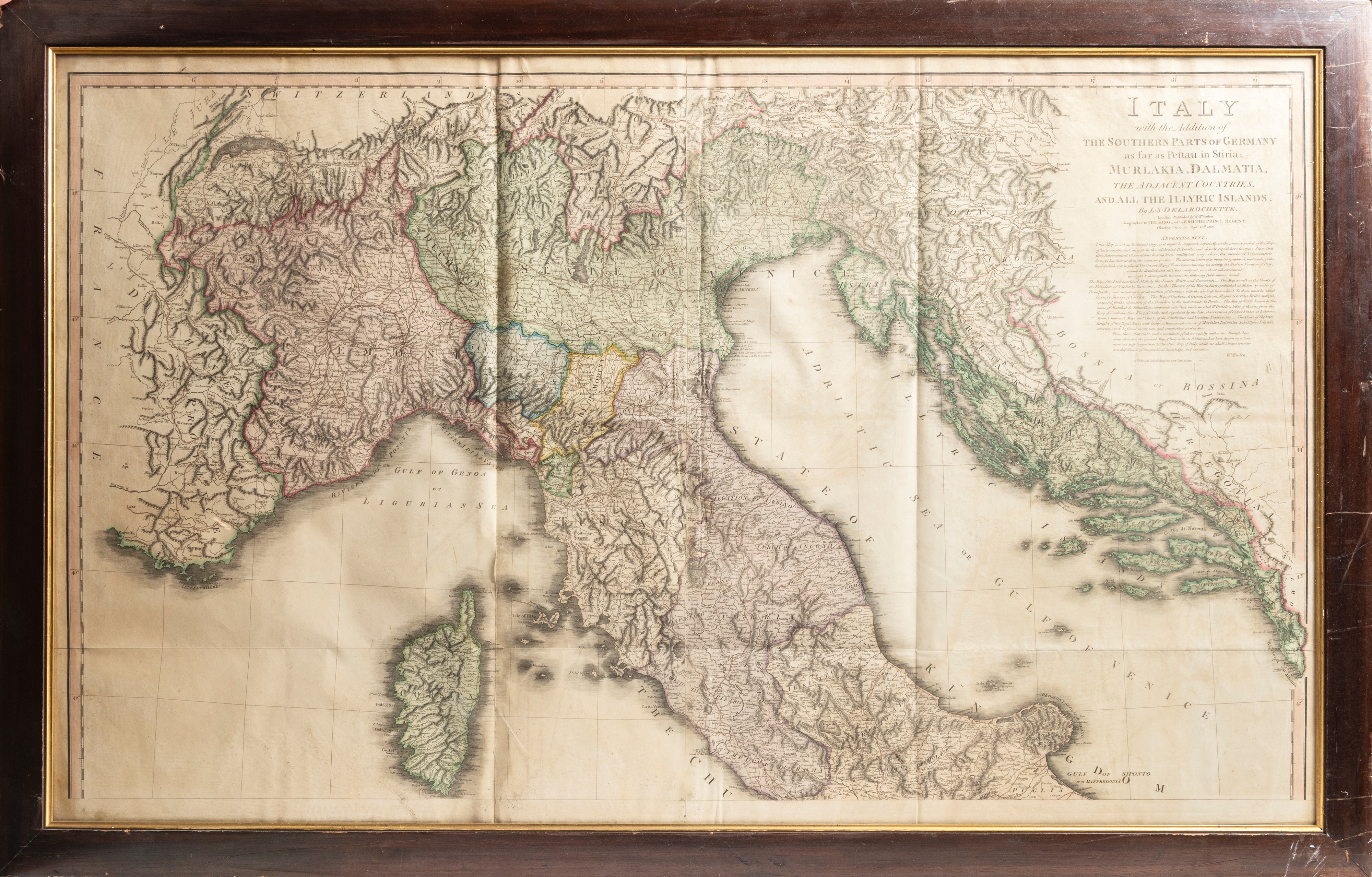
506
ANTICA CARTA GEOGRAFICA DELL'ITALIA DEL NORD, Secolo XVIII/XIX
h cm 68 x l cm 111
Intitolata: Italy with the Addition of the Southern Parts of Germany as far as Pettau in Stiria, Murlakia, Dalmatia, the Adjacent Countries and all the Illyric Islands, realizzata dal cartografo Louis Stanislas d'Arcy Delarochette e pubblicata a Londra da William Faden.