506
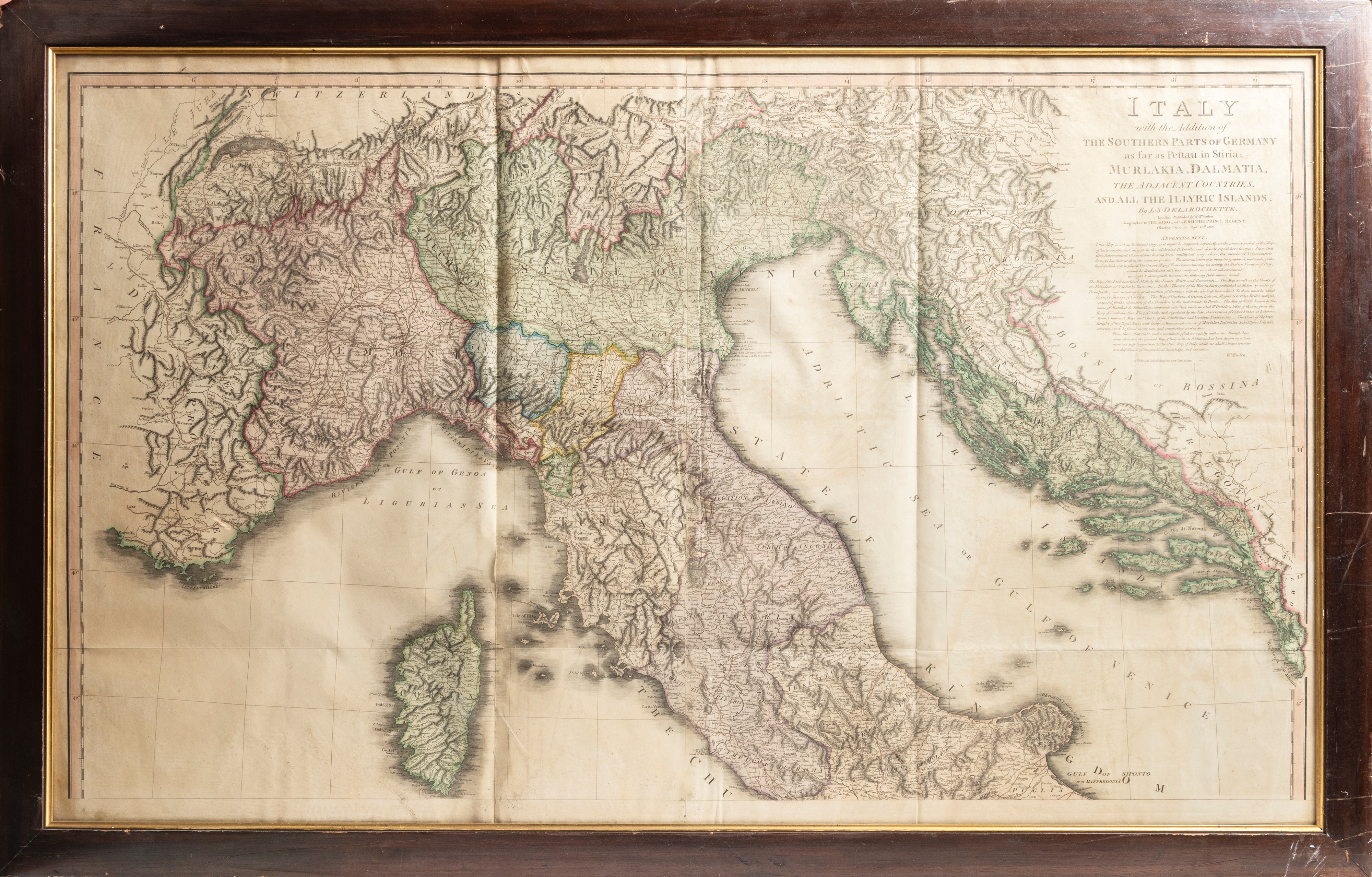
AN ANCIENT MAP OF NORTHERN ITALY, Late 18th / early 19th century
h cm 68 x l cm 111
Titled: Italy with the Addition of the Southern Parts of Germany up to Pettau in Styria, Murlakia, Dalmatia, the Adjacent Countries, and all the Illyric Islands, created by the cartographer Louis Stanislas d’Arcy Delarochette and published in London by William Faden.